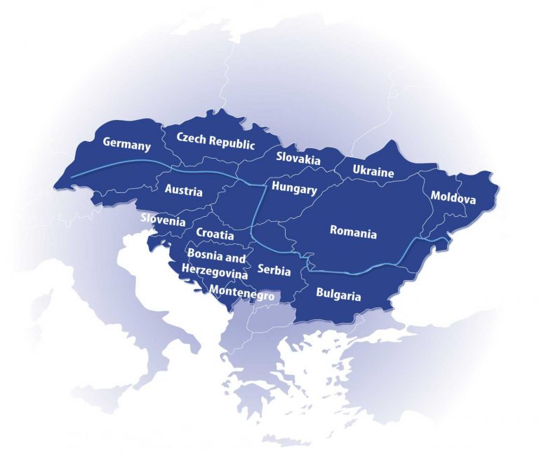
Source: http://www.danube-region.eu/about/the-danube-region
The Danube is Europe’s second largest river, flowing for 2857 kilometers from the Black Forest, in Germany, to the Black Sea.
It is composed of three subregions:
- the upper basin comprised of the section between the Black Forest and Bratislava
The area covers, in the north side, the Swabian and Frankonian Alb, parts of the Oberpfälzer, the Bavarian and the Bohemian Forests, the Austrian Mühl and Waldviertel and the Bohemian-Moravian Uplands. - the middle basin, extending from Bratislava to the Iron Gate dams in Serbia/Romania
It covers a large area reaching from the Gate of Devín to the impressive gorge of the Danube at the Iron Gate, which divides the Southern Carpathian Mountains in the north and the Balkan Mountains in the south. - the lower basin, acts as a natural Romanian – Bulgarian border, and the Danube Delta formed by the division in three of the River, having an area of about 6000 km2.
It covers the Romanian-Bulgarian Danube sub-basin downstream of Cazane Gorge and the sub-basins of the Siret and Prut River.
Also due to the richness in the landscape, the habitats along the river are very diverse, ranging from high mountains, hill forests to wet lowlands near sea level.
The Danube River Basin covers over 800 000 km2, being the second largest river basin in Europe after Volga’s, and it is positioned to the west of the Black Sea in Central and South-eastern Europe.